The Mysterious Story of Moncacht-Apé, the Yazoo Explorer Who Walked Across America

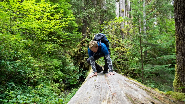
It feels like wading through a sea of green. With every step, sword ferns and prickly branches slap at my pant legs and sleeves. I can’t see the ground, so I search for footing between slick rocks and spongy mosses. Overhead, towering conif…
It feels like wading through a sea of green. With every step, sword ferns and prickly branches slap at my pant legs and sleeves. I can’t see the ground, so I search for footing between slick rocks and spongy mosses. Overhead, towering conifers rise out of sight. “A tree with a shrinking range,” I ponder, “that has a beautiful yellow wood with an odd smell.”
I’m following an unmaintained trail above Big Creek in Olympic National Park. My destination is a remote mountainside that’s home to the nation’s largest yellow cedar. Today, the species is called Alaska cedar, and it’s not common this far south, except for scattered groves at higher elevations. Yet, long ago, when the Olympic Peninsula was colder and snowier, it might have grown more widely. If so, yellow cedar could help unravel a 300-year-old mystery.
A ranger said no one else would be out here, despite it being a Saturday in early October. However, after several tiring hours, I pass two hikers from a small group. They’re retreating after failing to get past Big Creek, which is known for regular flooding. Upon reaching the rough crossing, I find a defeated college kid sitting on a log.
“Way tougher than I thought,” he says.
I completely agree and look the part, with sweat-soaked clothes starting to fray. It’s already 3:30 p.m. I can’t make it today, but I decide to scout a little farther. The footbridge is long gone, and the lower slope is stripped bare, leaving a 50-foot cliff of jagged rock and clinging trees.
Down in the streambed, a log pile looks somewhat traversable. It isn’t pretty, but I scoot across one trunk like I’m riding a horse. After nearly impaling myself on a branch, I clamber up the cliff using roots and rocks like a ladder. High above, I flop sideways onto the trail.
“This better be worth it,” I gasp, spitting dirt.
The switchbacks up the mountainside are littered with shattered wood and twisting branches. When a rotten log collapses beneath me, I decide to turn back. I have 24 hours to try again. Major storms are on the way, signaling the arrival of the rainy season.
That’s when I meet a strong trio of club hikers heading back after reaching an alpine lake. A twentysomething woman from Alaska is leading two young men from India, who’ve spent time trekking in the Himalayas.
We hit it off, so I join them for an exhausting march back to the trailhead. As we progress, I inquire about yellow cedars. The trio only briefly noticed the giant. Unfortunately, one of them believes that it’s dead.
“Why do you want to see those trees so bad?” the leader asks.
“Have you ever heard of Moncacht-Apé?” I reply.
Several years ago, while homebound for a time, I was researching some mysteries about the Lewis and Clark expedition for a possible book. I wondered why the leaders expected an easy crossing of the Continental Divide at the unmapped headwaters of the Missouri River. A few paragraphs by historian David Lavender suggested the belief might have been influenced by the journey of Moncacht-Apé.
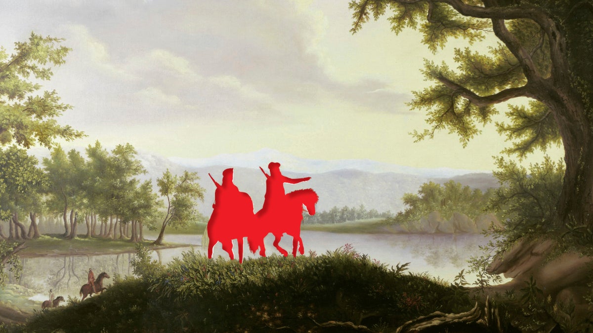
This Yazoo tribesman from the Mississippi Valley claimed he crossed the continent around the late 1600s. During the mid-1720s, Moncacht-Apé told his story to French colonist Antoine-Simon Le Page du Pratz, describing eight years of traveling mostly on foot and occasionally in dugout canoes to reach the eastern and western coasts. Along the way, he befriended numerous tribes, learning their languages and the best routes to follow.
After Le Page returned to France, he published the account in his 1758 book, Histoire de la Louisiane. For 50 years, Moncacht-Apé’s journey was generally accepted as true. At President Thomas Jefferson’s suggestion, Meriwether Lewis carried a copy of the English translation on his 1803 to 1806 expedition.
Le Page wrote that Moncacht-Apé walked up the Missouri River for about six weeks before turning north. After a gradual crossing of the Continental Divide, he reached a river flowing west toward the Pacific. That’s not how it went for Lewis and Clark. In 1805, they spent an exhausting month surmounting the Bitterroot Range in present-day Idaho. With the upper Missouri now mapped, Moncacht-Apé’s descriptions didn’t match.
Afterward, the Yazoo explorer’s story was dismissed as a fraud by United States historians. How could a primitive “savage”—as Native people like Moncacht-Apé were often racistly derided—ever have accomplished the same feat as national heroes Lewis and Clark? Some observers suggested Le Page invented the story. Occasional believers argued the account was vague but still plausible.
Fascinated by this exploration mystery, I tracked down the few translations of Moncacht-Apé’s account. I was struck by two things. First, it sounded genuine to me—similar to other published accounts by the earliest white explorers into the West, who often didn’t know exactly where they were. Second, from my own travels, I recognized Moncacht-Apé’s northwest-trending route. Except he wasn’t describing the Missouri River. He was describing the Platte.
The Platte is a major river of the Plains, with its headwaters found high in the Rocky Mountains. Along with two principal tributaries, the North Platte and Sweetwater, the Platte was the preferred route for westward migration during the mid-1800s. It was called the Oregon Trail, which most Americans would forget was based on an Indigenous trading route that existed for centuries.
The idea that Moncacht-Apé followed the Platte made perfect sense. Lewis and Clark ascended the Missouri in boats because they were searching for the mythical Northwest Passage, an interior water route that didn’t exist. Moncacht-Apé went on foot, and being a friendly interpreter, he would have learned about the better path.
Three centuries later, I was stunned. With a simple route shift roughly 300 miles to the south, the pieces of a long-forgotten mystery were falling into place. Was it too late to investigate? Moncacht-
Apé left plenty of clues, including vague references to tribes, topography, plants, and animals. If these precontact clues could be matched to plausible answers, especially when considering the limits of 1700s French knowledge, that might prove his journey was real.
I had endless questions and needed help. Those U.S. scholars of the past, who easily dismissed the story, had seemingly neglected the Native point of view. Perhaps I could search for Moncacht-Apé’s route by finding the descendants of tribes he visited. Together, we might discover answers that had gone missing for centuries.
The post The Mysterious Story of Moncacht-Apé, the Yazoo Explorer Who Walked Across America appeared first on Outside Online.
Source: Outside Online — Read original